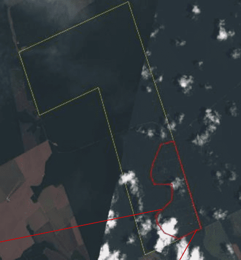
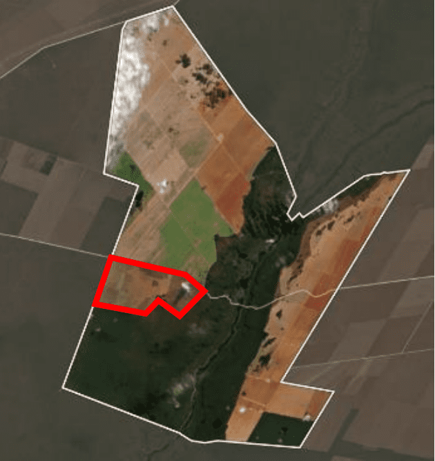
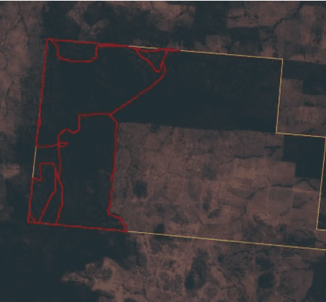
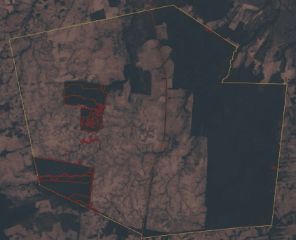
Soy & Cattle Deforestation
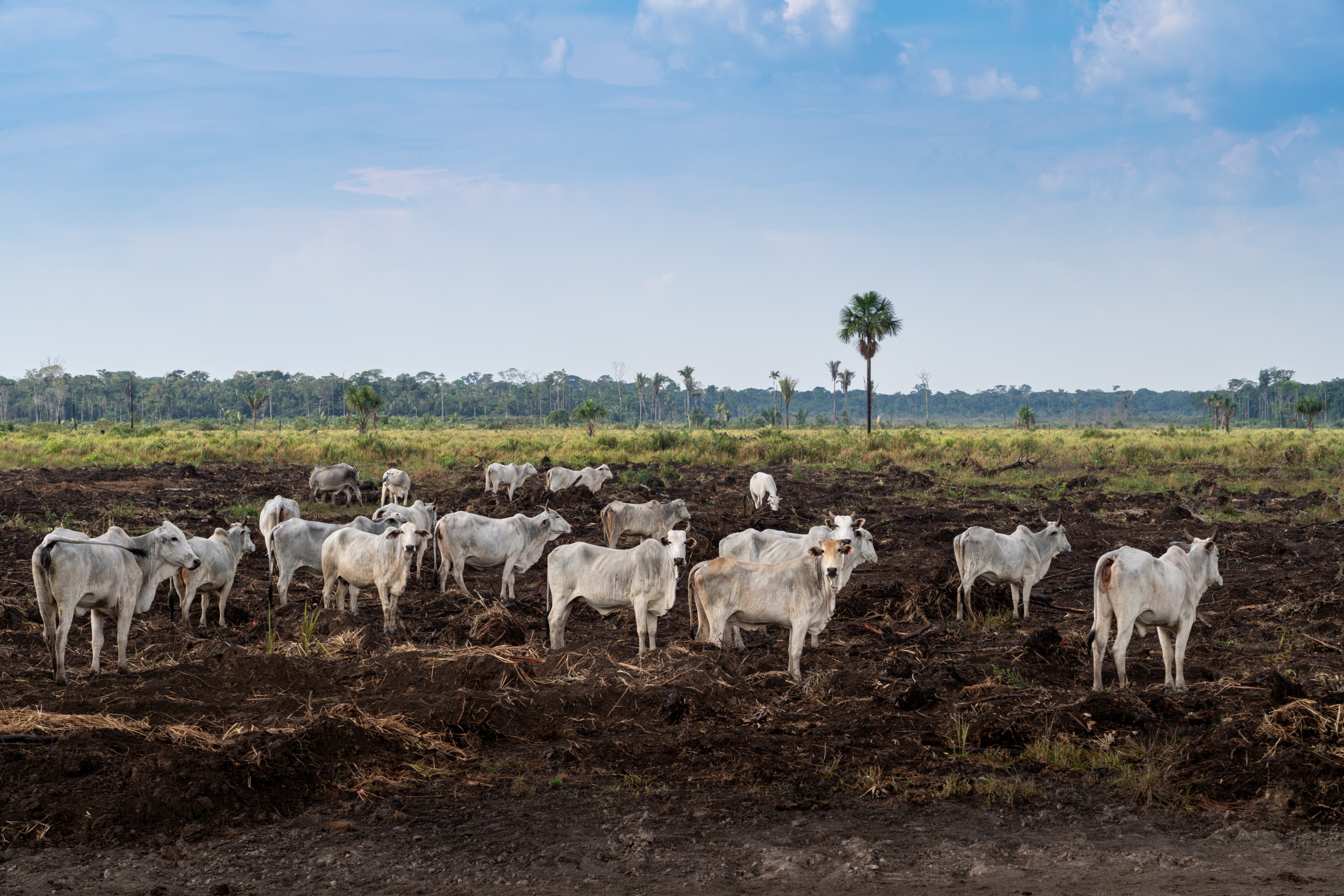
Land use change from agriculture is one of the top drivers of climate change. But where is deforestation taking place, and who is responsible?
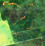
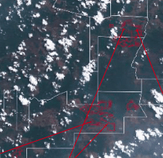
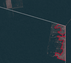
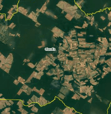
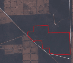
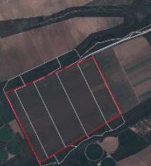
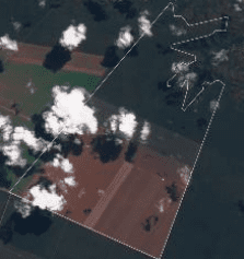
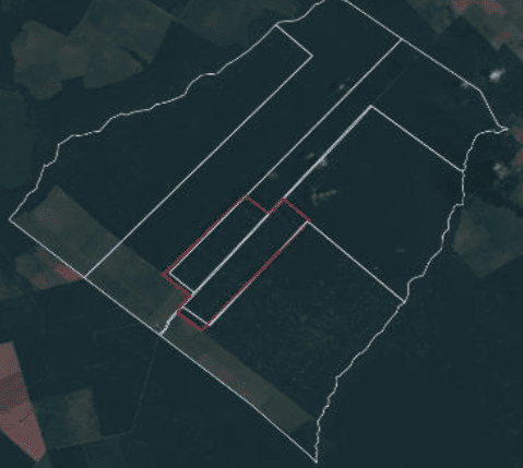
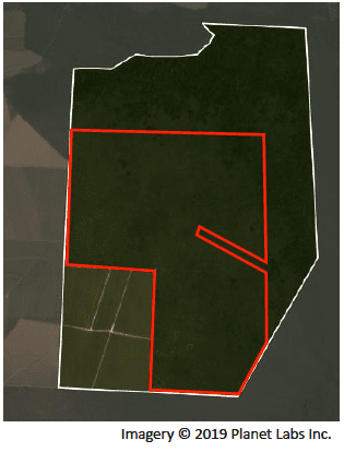
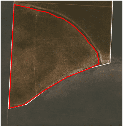
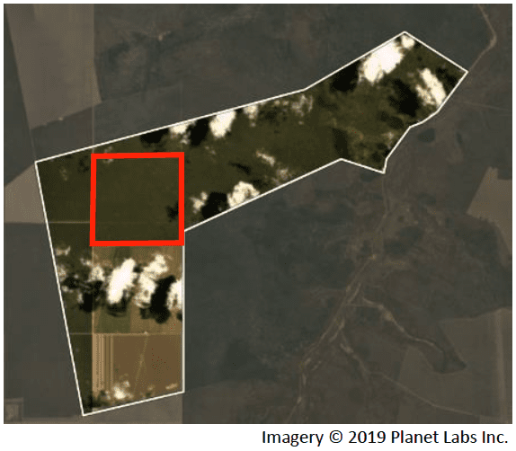
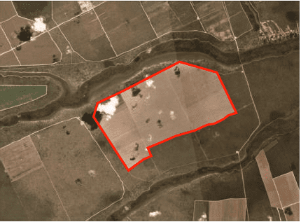
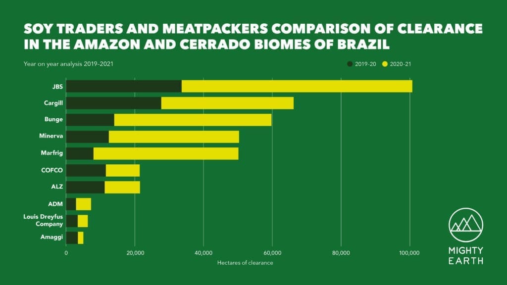
Mighty Earth’s Soy & Cattle 2021 Deforestation Tracker brings to light the obscured data connecting meatpackers and soy traders to deforestation and land clearance in the Brazilian Amazon and Cerrado. The Tracker links dozens of cases of large-scale conversion to major soy traders and meatpackers that sidestep accountability for their inaction. It ranks the companies based on the extent, severity, and response to the clearance in their supply chains. Companies are scored out of 100 points, with 1 being the worst and 100 being the best (read more about how we calculate these scores).
Company Scores
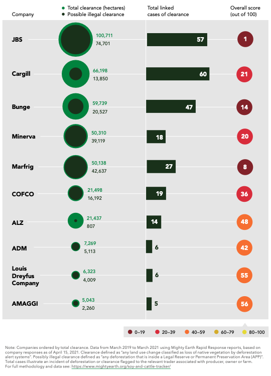
For more information on the major supermarkets buying from these companies, see our report: Soy & Cattle Deforestation Tracker (French version). For more detail on these numbers, check out our Fact Sheet.
For data visuals on supermarket exposure to deforestation in the UK, US, Germany and France, please visit: Soy & Cattle National Datasheets.
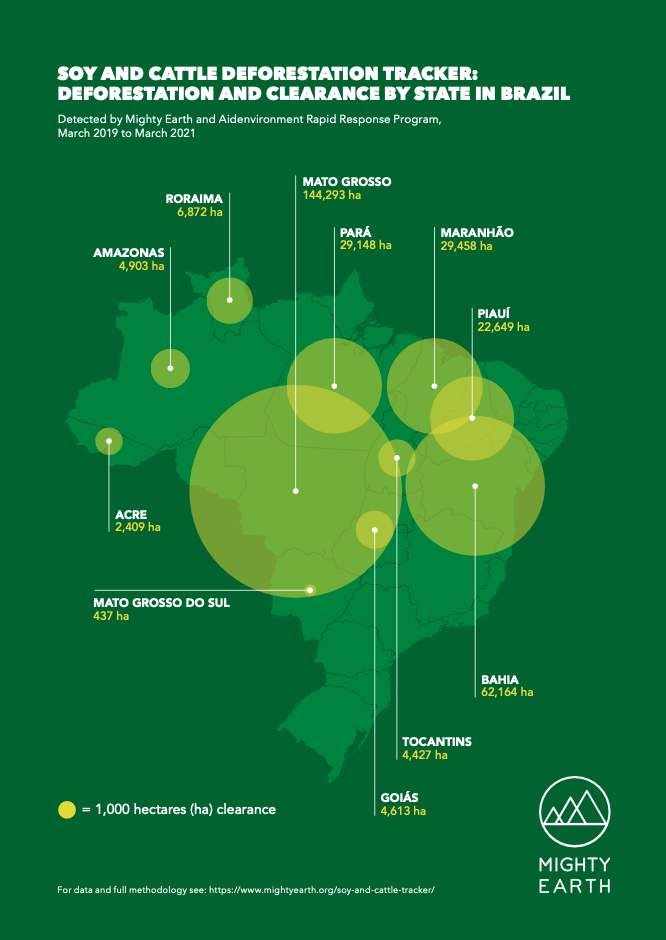
Deforestation and Clearance by State